Related items
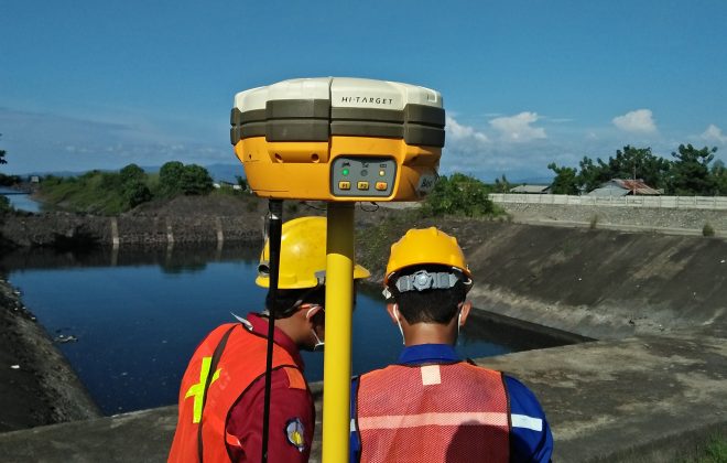
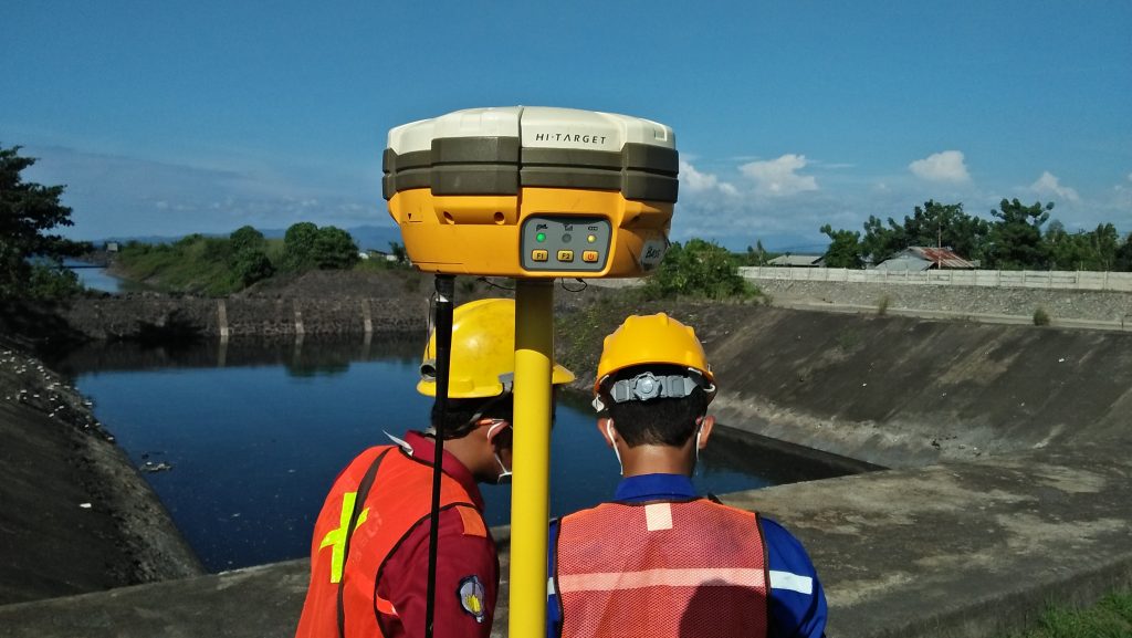
Topography Survey
Topography survey is a survey method that aims to obtain the coordinates and elevation of…
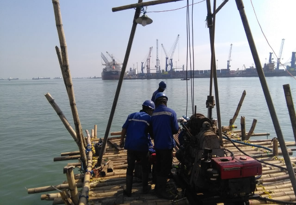
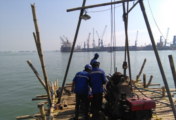
Soil Investigation and Testing Works Berlian and Nilam Konvensional Terminal Tanjung Perak Port Surabaya
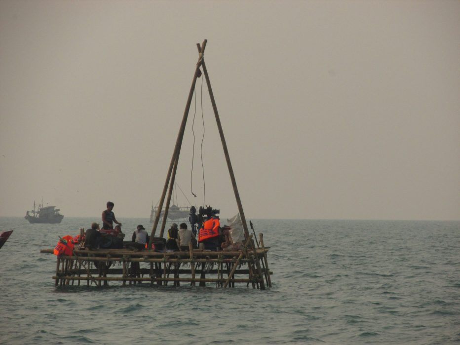
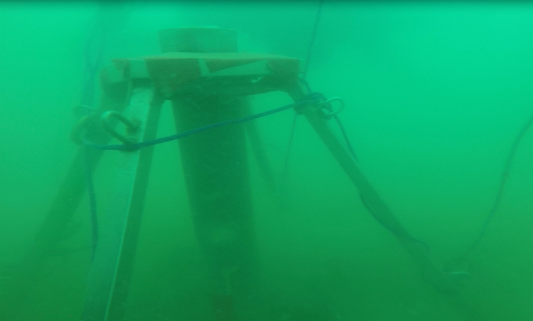
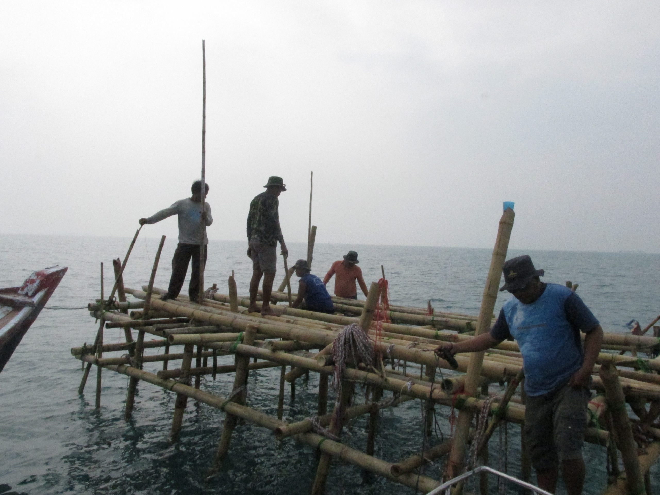
The foundation is an important part of a building structural system, where the foundation functions…

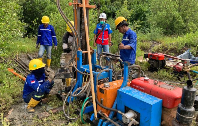
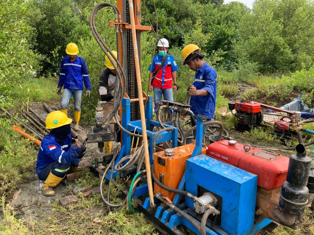
Soil Investigation Work at the Nilam Terminal of PT. Pelindo
Soil Investigation Work at the Nilam Terminal of PT. Pelindo was entrusted to us by…
Soil Investigation, Topografi, And Batimetri Gresik – Project PT. BBE
Soil Investigation, Topografi, And Batimetri Gresik were entrusted to us by PT. Berkah Buana Energi.…