

Geophysical Survey
Geophysical survey is the systematic collection of geophysical data for spatial studies. Detection and analysis of the geophysical signals form the core of Geophysical signal processing. The magnetic and gravitational fields emanating from the Earth’s interior hold essential information concerning seismic activities and the internal structure. Hence, detection and analysis of the electric and Magnetic fields is very crucial. As the Electromagnetic and gravitational waves are multi-dimensional signals, all the 1-D transformation techniques can be extended for the analysis of these signals as well. Hence this article also discusses multi-dimensional signal processing techniques.
Our service consists of:
- Geohazard Survey (2D/3D High-Resolution Survey) prior to field development and drilling phase
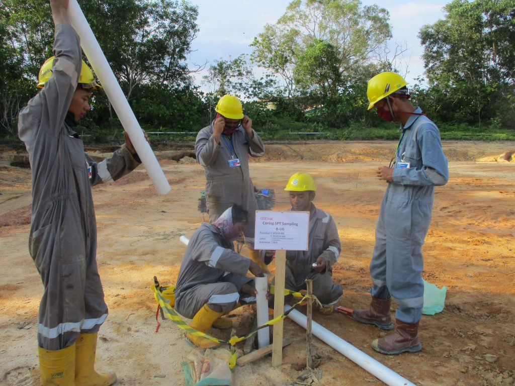
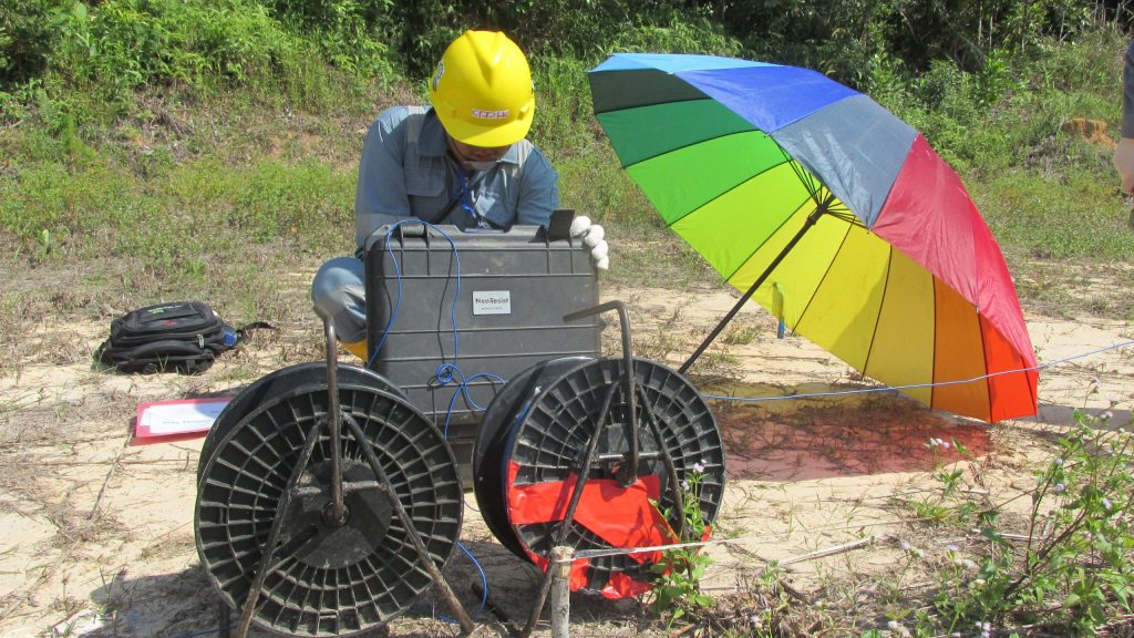
- Geolistrik
- Soil Resistivity
- Hydrographic Survey
- Pipeline Route and Post-laid surveys
- Magnetometer/UXO & Site surveys
- Deepwater Site Surveys with AUV operations
- Proven Search and Rescue Operations
- Desktop Studies
Categories
Related items

Onshore and Offshore Survey for the Fuel Oil Terminal Development Project in Maumere – East Nusa Tenggara
The survey project for Jetty Infrastructure – TBBM was entrusted to us by a Consortium…
Soil Investigation and Laboratory Test for West Pangkah Field Gresik Development
SAKA Indonesia Pangkah Limited/SIPL (herein referred to as COMPANY) has been commissioned to undertake the…

Topography and Bathimetry Survey in Tenau Kupang Port PT. Pelabuhan Indonesia (Persero) Tenau Kupang Branch
PT Pelabuhan Indonesia conducts the core business as a provider of facility port service which…

Soil Investigation Survey RSUA Mojokerto
Soil Investigation Survey RSUA Mojokerto. Soil investigation work and soil testing laboratory work. Soil testing…