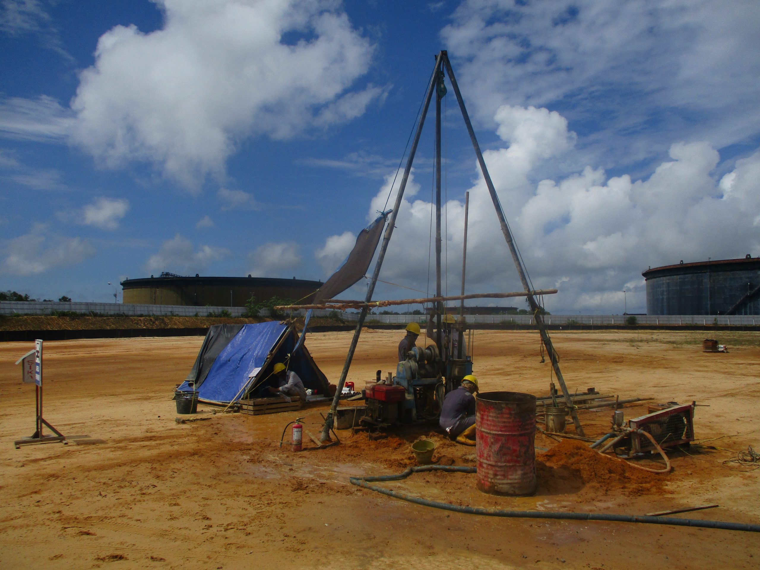
Penajam Paser Utara Regency is located 117 km southwest of the capital of East Kalimantan Province, Samarinda. It is bordered by the city of Balikpapan, separated by Balikpapan Bay. Geographically, the area of Penajam is between 0o48’29 ’- 01o36’37” Southern Latitude and 116o19’30 “- 116o56’35” East Longitude. The area of North Penajam Paser Regency is 3,333.06 Km2, consisting of 3,060.82 Km2 land area and 272.24 Km2 ocean area. The sub-districts with relatively wide area compared to other sub-districts are Penajam and Sepaku Sub-districts, while the district with the narrowest area is Babulu Sub-District.
In urban planning land slope/topography is an important element to study. Land suitability for specific buildings is inseparable from consideration of the slope of the land in the area. In general, the height of the place in the North Penajam Paser Regency is 0 – 500 m above sea level (asl). The lowest elevation was found in the area around the mouth of the river in Penajam Paser Utara Regency. The North Penajam Paser Regency consists of land and coastal region. The coastal region is spread over three districts namely Babulu Subdistrict, Waru Subdistrict, and Penajam Subdistrict where the three Subdistricts are directly bordered by the Makassar Strait. Slope levels of 15 – 40% are distributed in the western region. The flat area with a slope of 0 -3% is in the area along the coast with an area of 25,996 hectares or 8% of the total area of North Penajam Paser Regency.
In the west and north of the North Penajam Paser Regency Region has hilly and mountainous contours. This region is grouped to form mountainous areas including Gunung Beratus, Mount Kumut, Mount Patinjan, Mount Ketamu, Mount Buang, and Mount Bawang. The area can be considered as an inland area because of the limited accessibility of the area.

