Onshore and Offshore Survey for the Fuel Oil Terminal Development Project in Maumere – East Nusa Tenggara
The survey project for Jetty Infrastructure – TBBM was entrusted to us by a Consortium consisting of PT. Pertamina Patra Niaga, PT. Nindya Karya, and PT. Bangun Bejana Baja. This TBBM infrastructure survey project includes both offshore and onshore survey works.
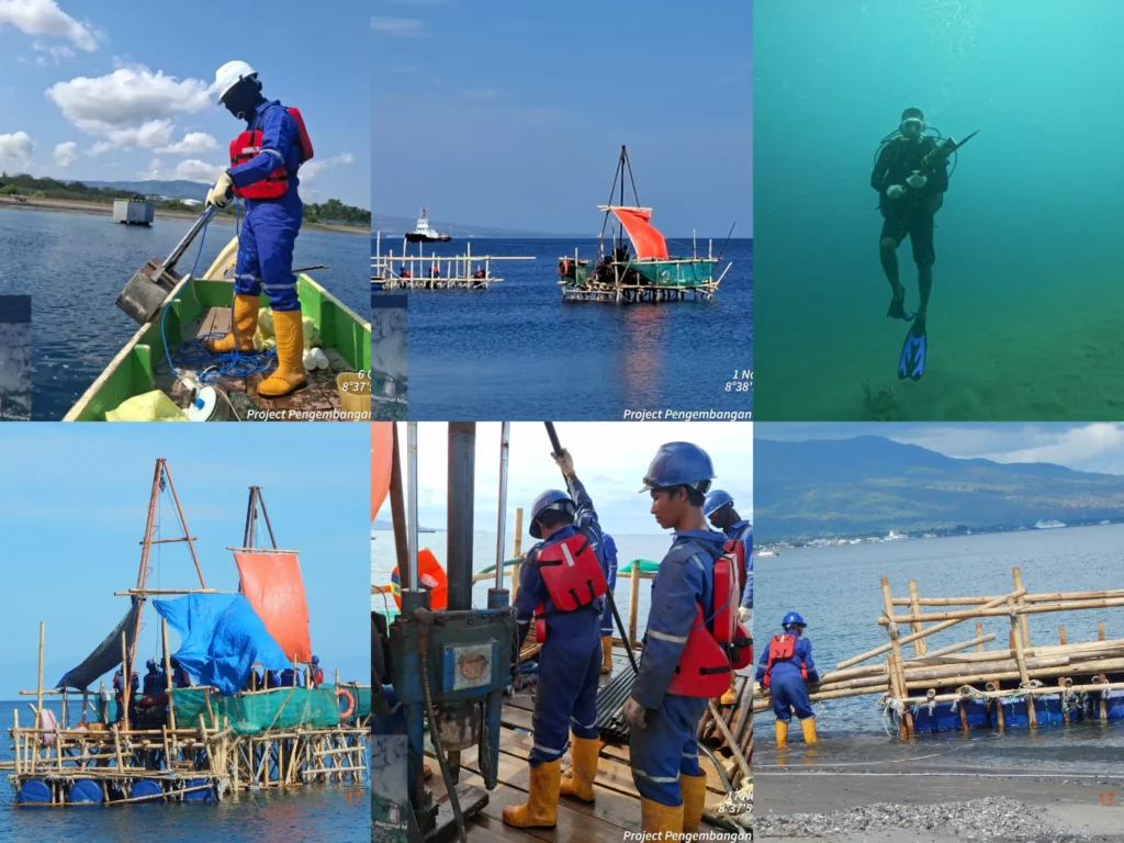
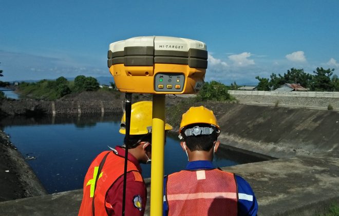
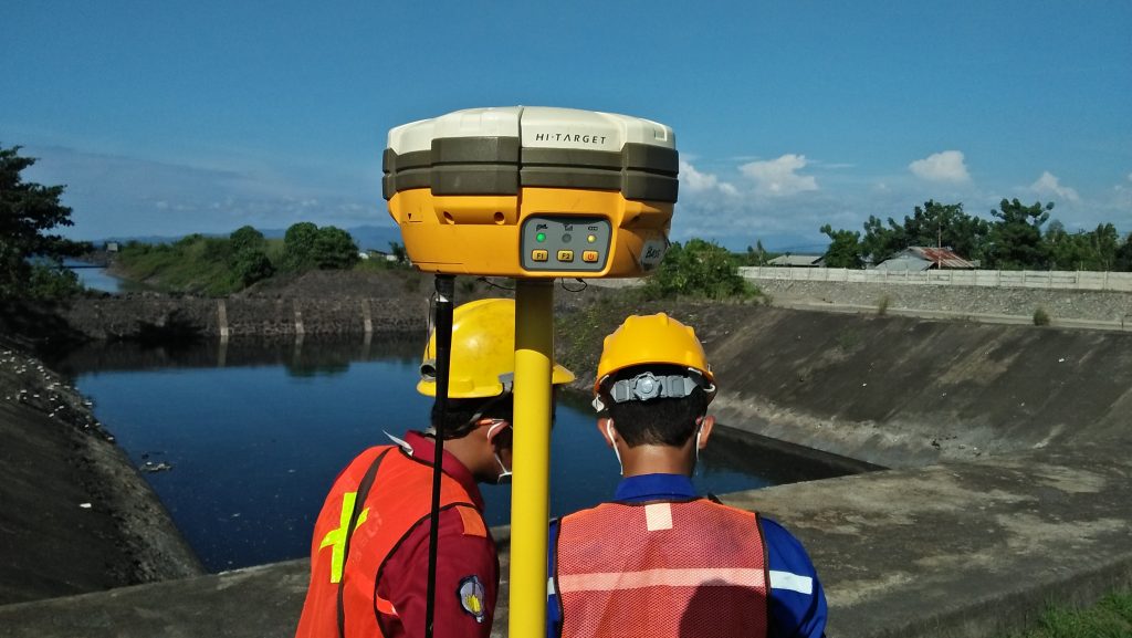
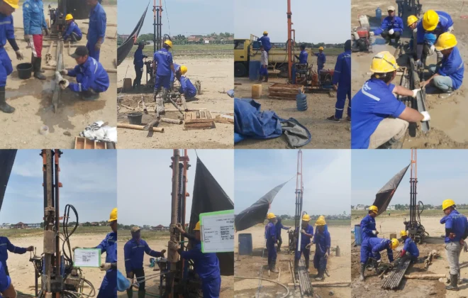
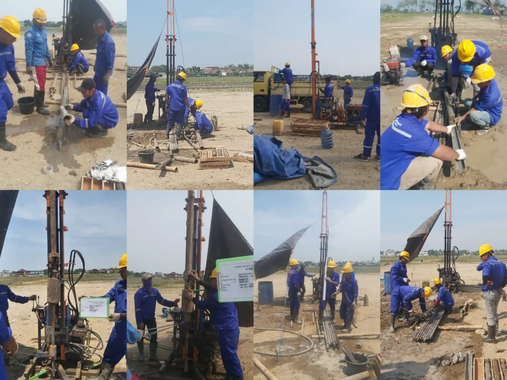
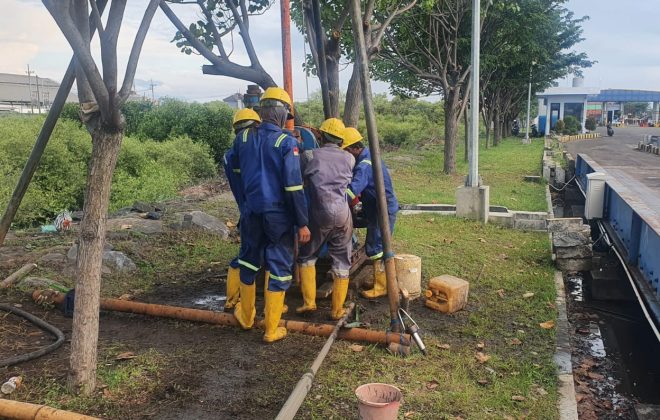
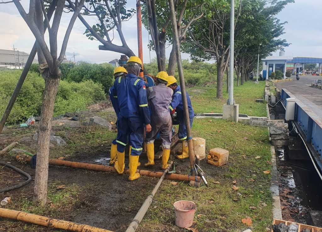
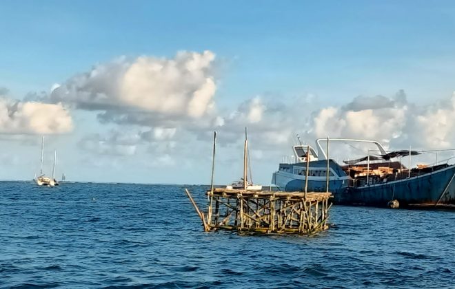
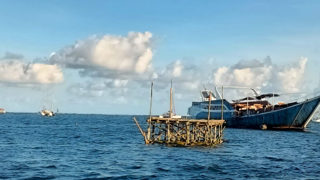
The offshore surveys include drilling, bathymetric surveys, underwater surveys, sediment sampling, as well as observations of tides, wind, currents, and waves. The onshore surveys include drilling, water sampling, geoelectrical measurements, geohydrological measurements, and soil resistivity measurements.
The scope of the onshore and offshore surveys includes 21 offshore drilling points, 5 water sampling points, 3 soil resistivity points, 3 geoelectrical survey areas, 1 geohydrological point, bathymetric surveys covering an area of approximately ±12 hectares, 5 sediment sampling points, and 30 days of observation for tide, wind, current, and wave surveys.
In addition, laboratory testing of soil and water was conducted, covering index properties, engineering properties, and chemical properties. Index properties include specific gravity, water content, Atterberg limits, and sieve analysis. Engineering properties include consolidation tests and triaxial UU tests. Chemical properties include soil chemical tests and water chemical tests. Soil chemical tests include Organic Carbon (C-Organic), pH, Chloride, and Sulfate, while water chemical tests include TCLP (Toxicity Characteristic Leaching Procedure).
Soil investigation is used to determine soil stratigraphy and to recommend both deep and shallow foundation structures. Soil resistivity, topographic, aerial, bathymetric, SBP, and underwater surveys are used to obtain information on elevation, contours, and the conditions of onshore and offshore areas. Observations from tide, wind, current, and wave surveys are used to run a 3D model that produces the dominant directions of currents, winds, waves, and sedimentation, with corrections applied to the survey results.
Related items
Topography Survey
Soil Investigation Survey SMA Terpadu – Jombang
Soil Investigation For Weighbridge Of Mayangan Port Probolinggo – PT. DABN