Related items
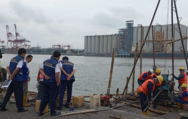
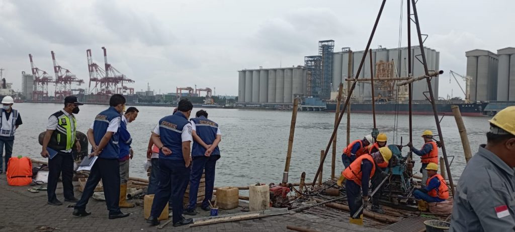
Soil Investigation Work at the Jamrud Terminal of PT. Pelindo
Soil Investigation Work at the Jamrud Terminal of PT. Pelindo was entrusted to us by…
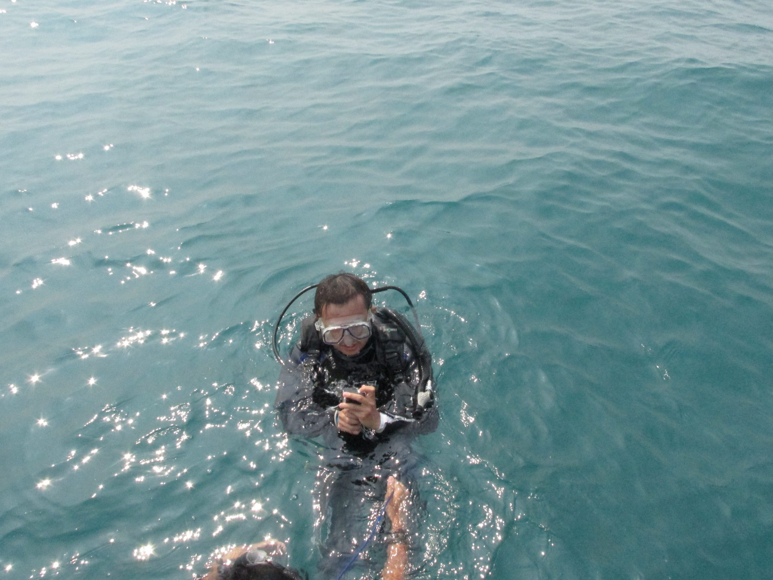
Soil Investigation, Topografi, And Batimetri Gresik – Project PT. BBE
Soil Investigation, Topografi, And Batimetri Gresik were entrusted to us by PT. Berkah Buana Energi.…
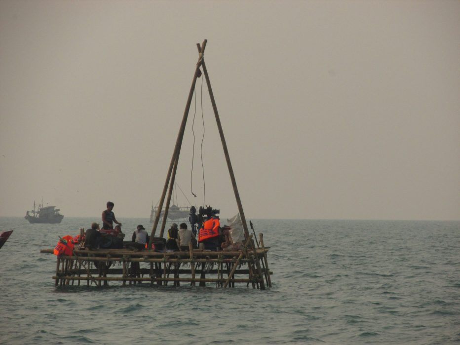
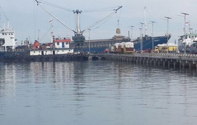
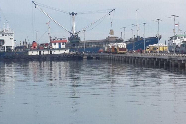
Detailed Engineering Design (DED) Dredging of Bima Port Pond PT Pelabuhan Indonesia III (Persero)
Shipping lanes and port pools are part of port facilities to support shipping security and…

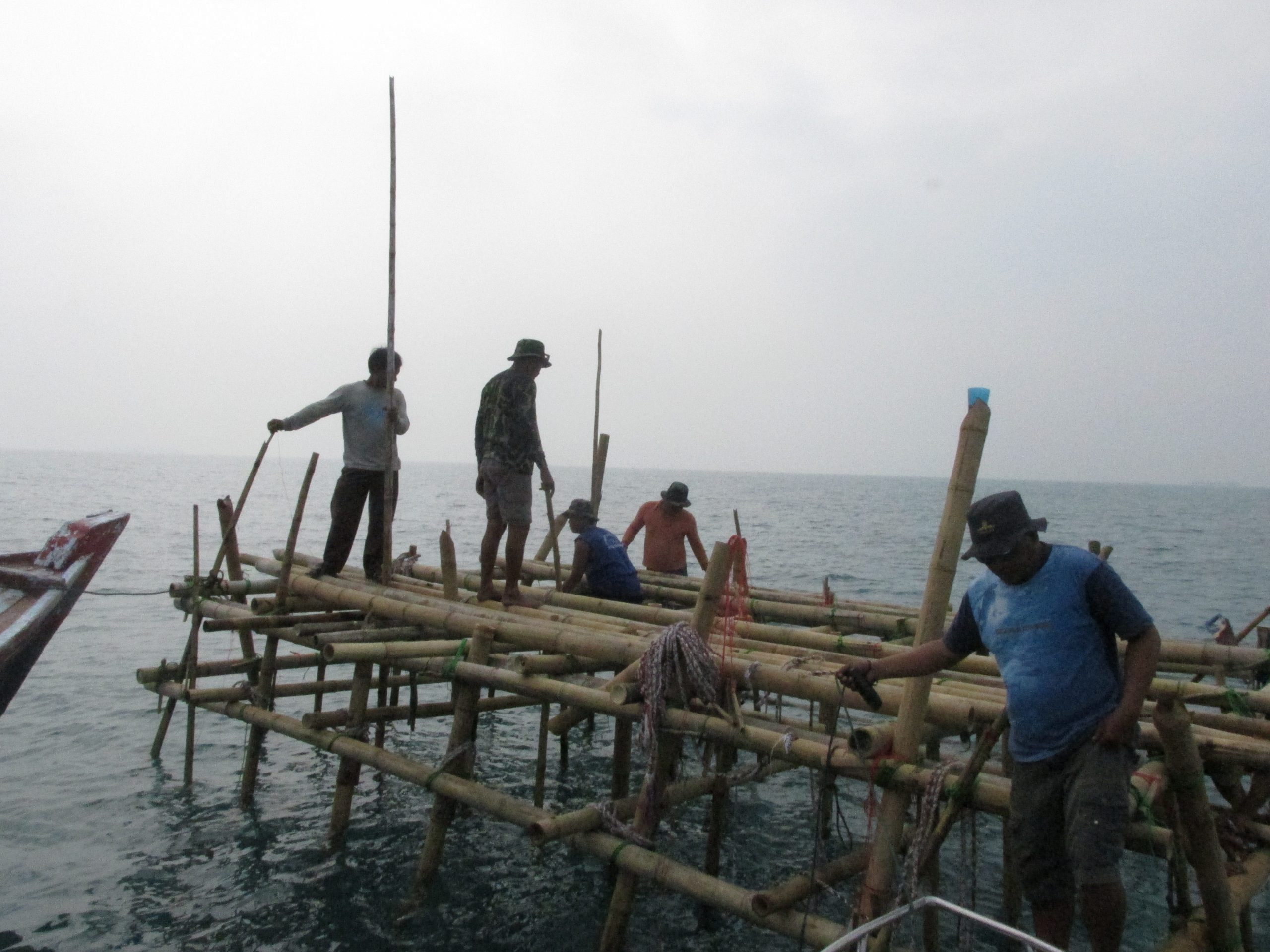
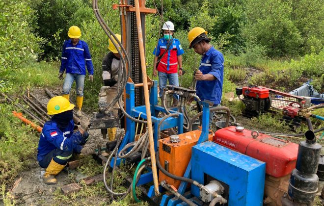
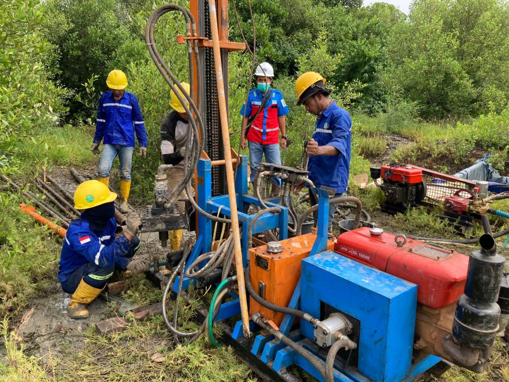
Soil Investigation Survey and Core Drill for Embung Montorna Sumenep
Soil Investigation Survey and Core Drill for Embung Montorna Sumenep entrusted to us by PT.…