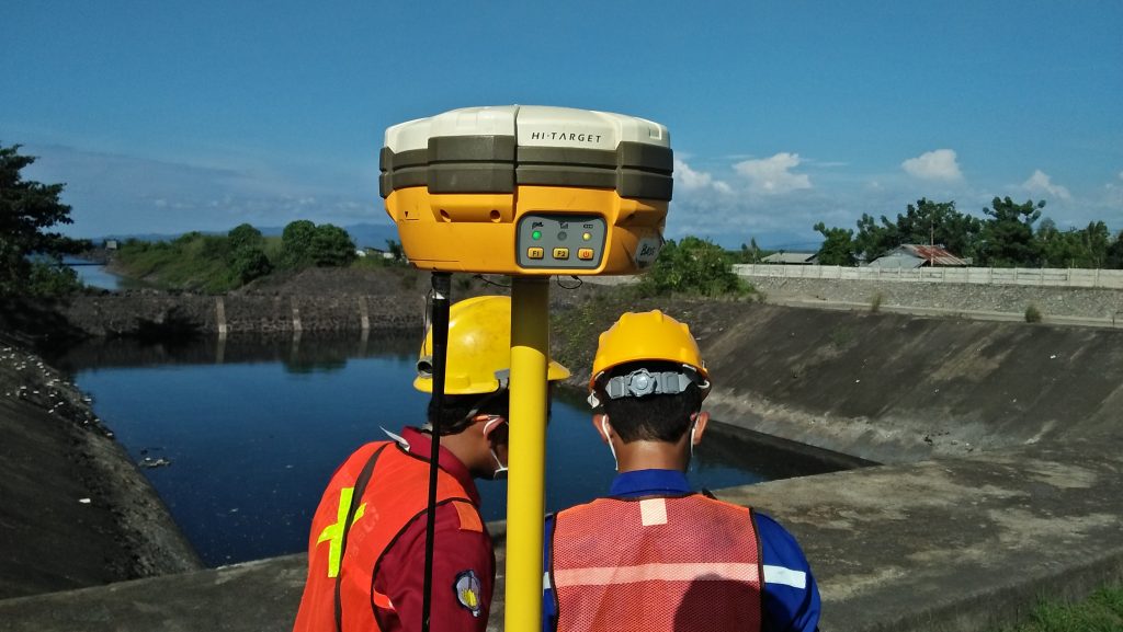


Topography Survey
Topography survey is a survey method that aims to obtain the coordinates and elevation of the area being surveyed. The output of this survey method is a contour map that can be used for future land use planning. we have the tools and professionals who can do this job very well. Our team has experienced since 2013 with various terrains and conditions.
Categories
Related items
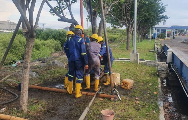
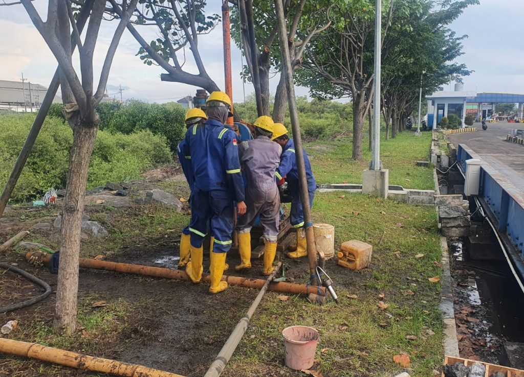
Soil Investigation For Weighbridge Of Mayangan Port Probolinggo – PT. DABN
Soil Investigation For Weighbridge Of Mayangan Port Probolinggo was entrusted to us by PT. Delta…

Offshore Soil Investigation, Metocean, Meteorology, And Sub Bottom Profilling On Project Terminal LNG Sidakarya Bali – PT. DEB
Offshore Soil Investigation, Metocean, Meteorology, And Sub Bottom Profiling On Project Terminal LNG Sidakarya Bali…

Soil Investigation Survey SUTT 150 kV Lamongan – Gresik
Soil Investigation Work at the SUTT 150 kV Lamongan - Gresik of PT. PLN was…