
Offshore And Onshore Survey LNG Infrastructure For Gas Power Plant In Nusa Tenggara – Bima
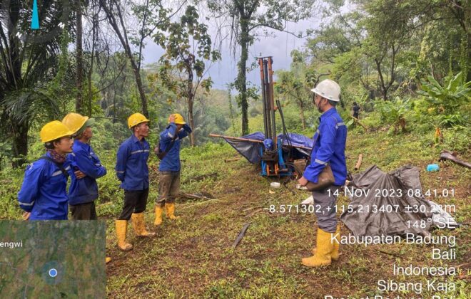
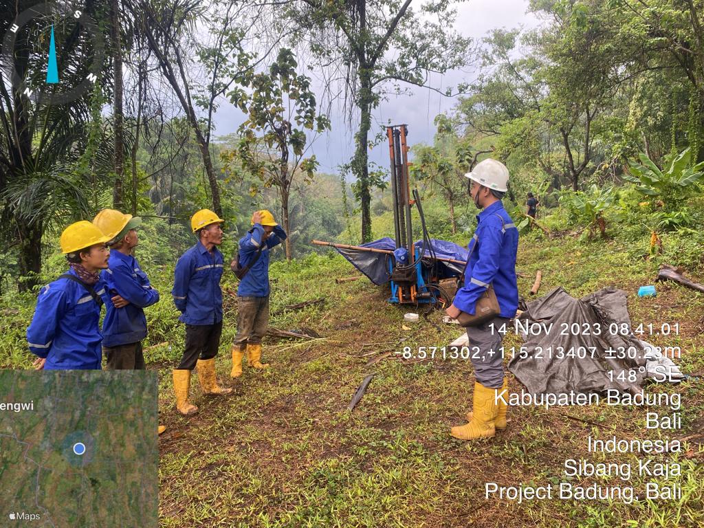
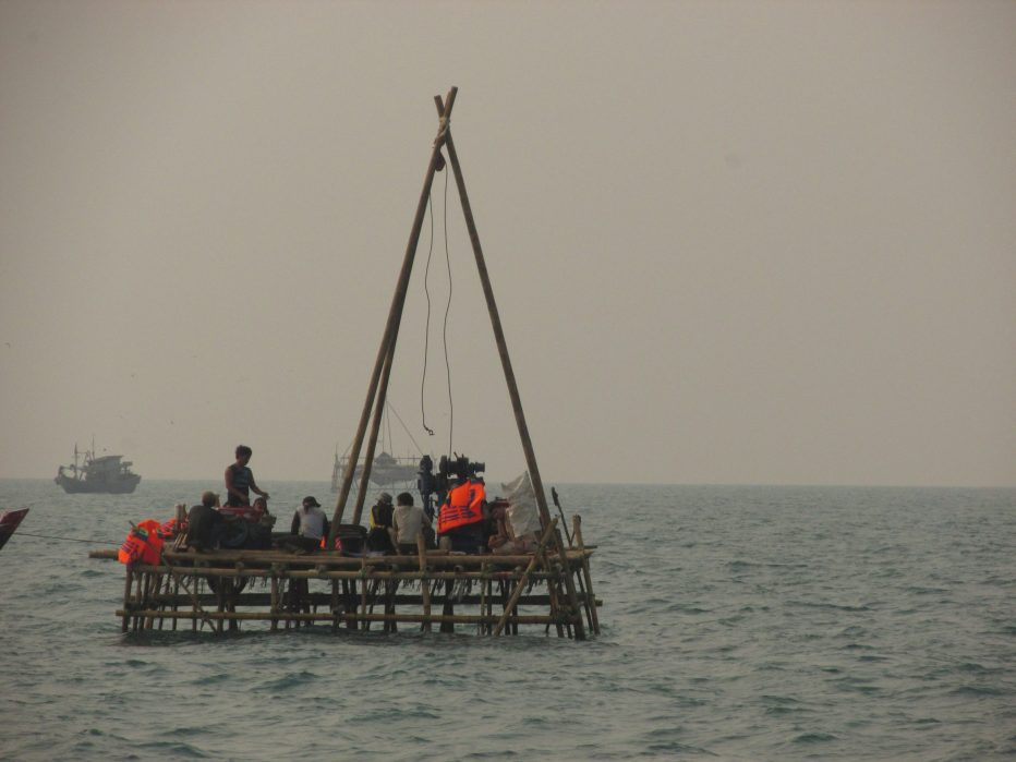
Survey project for LNG infrastructure – PLTMG was entrusted to us by Consortium (PT. PLN Energi Primer Indonesia, PT. Enviromate Technology International, PT. Prima Osean Nusantara, PT. APCA Tirta Engineering, KOREA GAS Technology Corporation). The survey project for LNG infrastructure is an offshore and onshore survey work. Offshore surveys include drilling, bathymetric, SBP, underwater surveys, sediment sampling, tides, wind, currents, and waves. Onshore surveys include drilling, water sampling, topography, aerial, CPT test, and soil resistivity. Onshore and offshore survey requests include 3 onshore drill points, 4 offshore drills, 1 water sampling point, 2 CPT test points, 1 soil resistivity, topography and aerial surveys covering an area of ± 10 hectares, bathymetric and SBP surveys covering an area of ± 50 hectares, 9 underwater survey points, 3 sediment sampling points, 30 days of observation for tide, wind, current and wave surveys.
There are also soil and water tests in the laboratory carried out in the form of index properties, engineering properties, and chemical properties. Index properties include specific gravity, specific gravity, water content, Atterberg limits, and sieve analysis. Engineering properties include consolidation and triaxial UU tests. Chemical properties include soil chemical tests and water chemical tests. Soil chemical tests include C-Organik, Ph, Chlorine, and Sulfate, and water chemical tests include TCLP (Toxicity Characteristic Leaching Procedure).
Soil Investigation is used to determine the stratigraphy in the soil and recommend deep and shallow foundation structures. Soil resistivity, topography, aerial, bathymetry, SBP, and underwater surveys are used to obtain information on elevation, contour, and the situation of onshore and offshore areas. Tide, wind, current, and wave survey observations are used to run a 3D model that produces the dominant directions of all currents, winds, waves, and sedimentation with corrections to the survey results.
Related items

Soil Investigation Survey, Topography, And Climatology Study At Nagote, Teluk Bintuni, West Papua
Soil Investigation Survey Villa Abiansemal, Badung, Bali
Internship Batch 2
