Related items
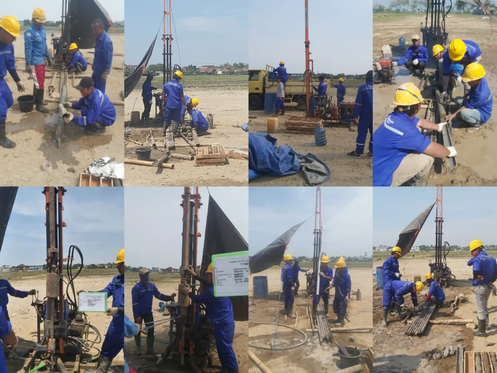
Soil Investigation and Topography Survey Kijing Port, West Kalimantan
Soil Investigation and Topography Survey Kijing Port, West Kalimantan were entrusted to us by Apical…
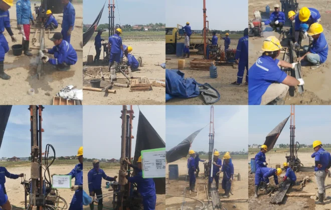
Soil Investigation Survey SMA Terpadu – Jombang
Soil Investigation Survey at SMA Terpadu Jombang. The work includes soil investigation and soil testing…
Internship Batch 2
Internship for Geophysics students from ITS, Civil Engineering students from UPN, and Marine Science students…