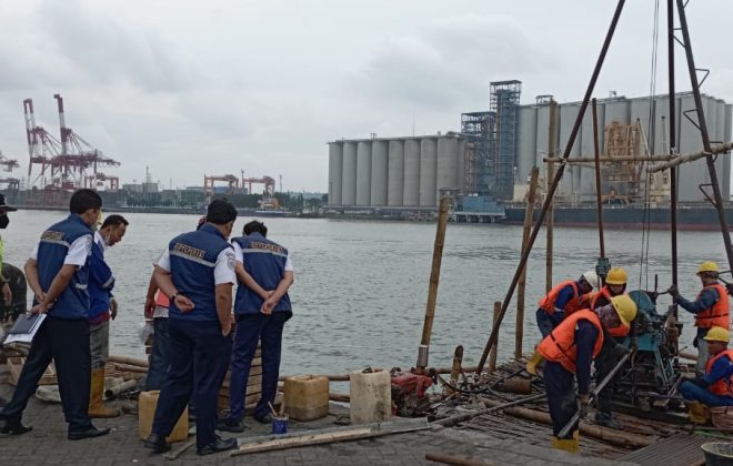
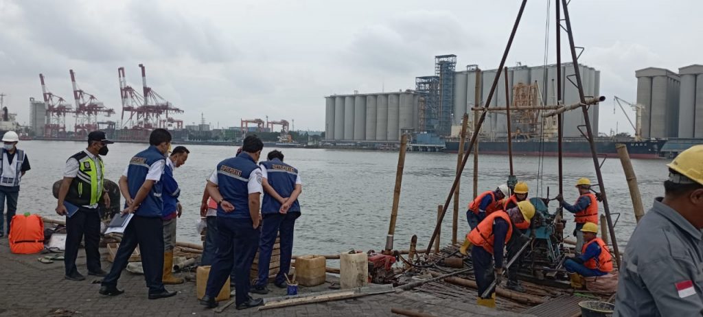
Topography And Soil Settlement Survey At Terminal AKR Stagen
Topography And Soil Settlement Survey At Terminal AKR Stagen. Topography is the study of the shape of the Earth’s surface and other objects, including planets, natural satellites (moons and the like), as well as asteroids. The broader scientific understanding also incorporates vegetation and human influences on the environment, as well as local culture into the scope of topography. But generally, topography studies surface relief, 3-dimensional models, and identification of land types.
Objects in topography are concerned with the position of parts and point to horizontal coordinates, such as latitude and longitude, as well as vertical lines, that is, heights.
Topographic studies can be carried out for various purposes, namely military planning, geological exploration, civil construction, public works, and reclamation.
Related items

Offshore And Onshore Survey LNG Infrastructure For Gas Power Plant In Nusa Tenggara – Sambelia, Lombok

Soil Investigation Survey, Topography, and Geolistric Groundwater In Development Lumpur Sidoarjo Island

Topography and Bathimetry Survey in Tenau Kupang Port PT. Pelabuhan Indonesia (Persero) Tenau Kupang Branch