Related items
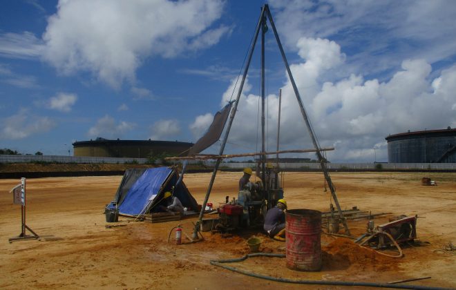
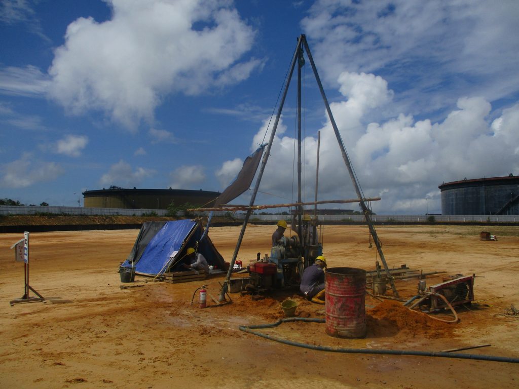
Engineering, Procurement and Construction (EPC) of Lawe – Lawe Facilities RDMP RU-V Balikpapan
Penajam Paser Utara Regency is located 117 km southwest of the capital of East Kalimantan…

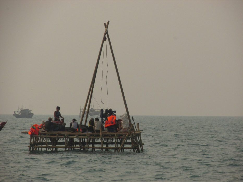
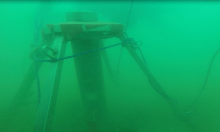
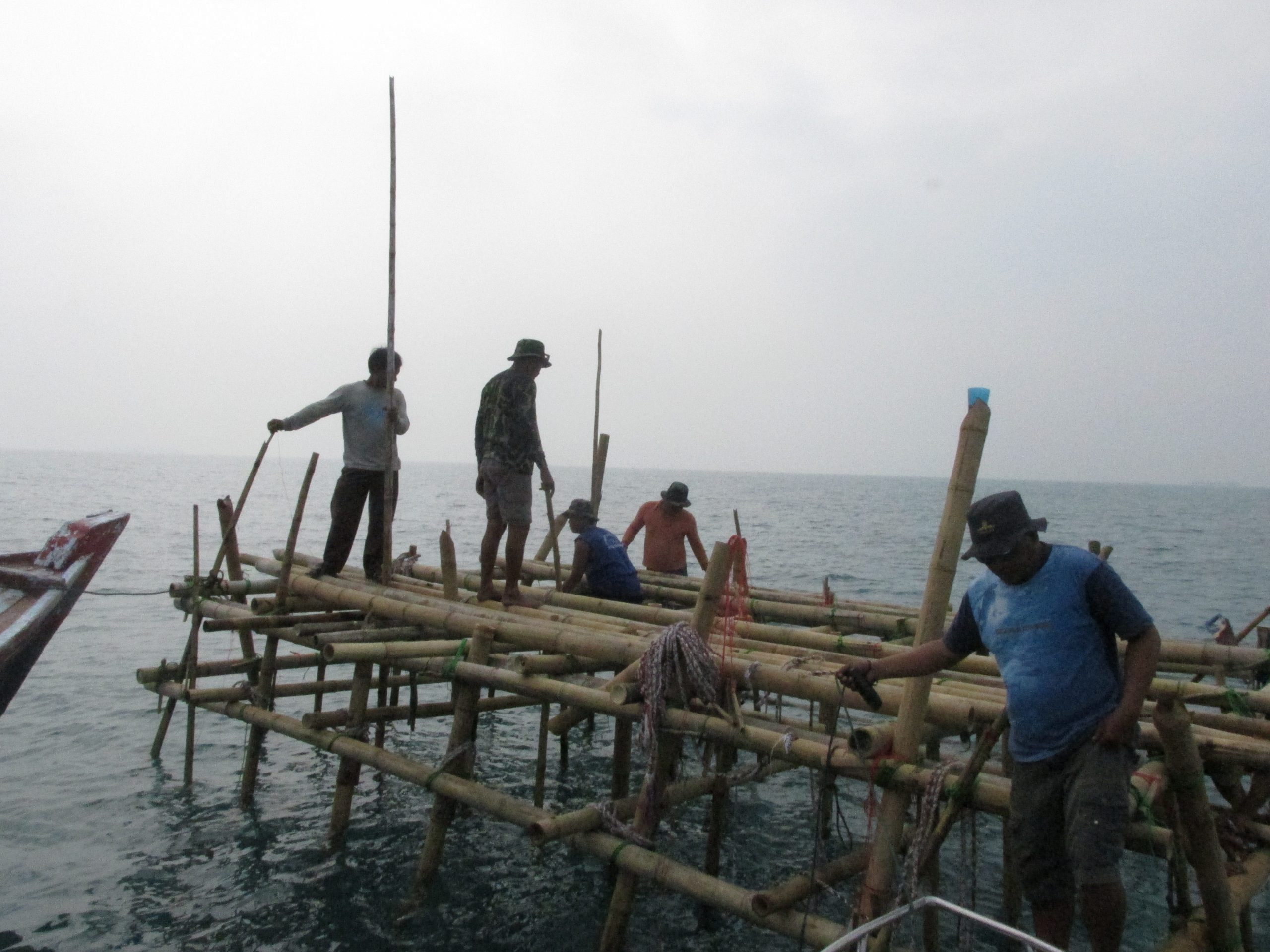
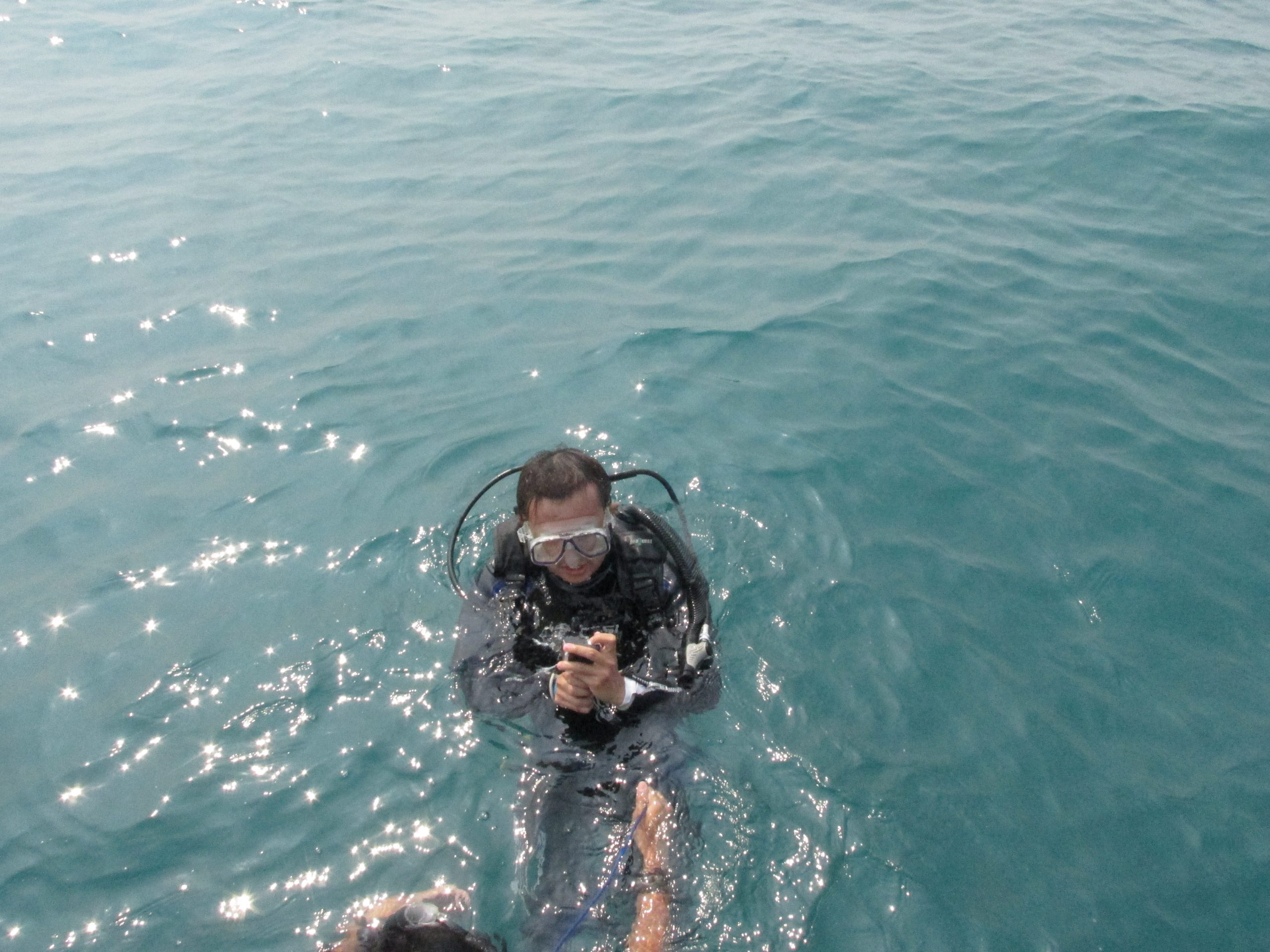
Soil Investigation Work at the Benoa and Lembar Harbor
Soil Investigation Work in Benoa and Lembar Harbor was entrusted to us by ITS Tekno…
Soil Investigation, Topografi, And Batimetri Gresik – Project PT. BBE
Soil Investigation, Topografi, And Batimetri Gresik were entrusted to us by PT. Berkah Buana Energi.…

Soil Investigation Pipeline Pengapon – Boyolali
Soil Investigation Work at the Pipeline Pengapon - Boyolali was entrusted to us by PT.…